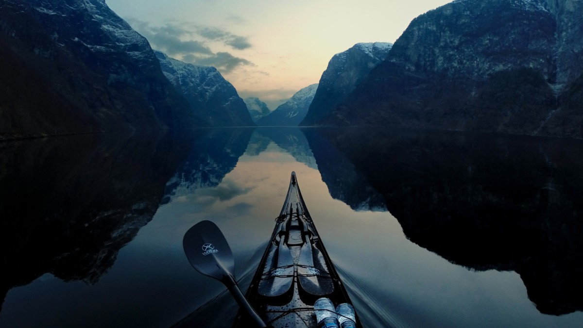
My worst fear was unfolding before me. While experiencing twenty-mile-per-hour winds and two-foot oncoming waves in Lake Erie’s shipping lane, I watched a ship change its course and head straight for me. As the ship came closer, I reached for my VHF radio and reminded myself why I was near the middle of the deadliest of the Great Lakes…
Standing on Michigan’s Keweenaw Peninsula, I looked northward over Lake Superior toward the town of Terrace Bay, my destination, one hundred miles away. Five years earlier, I had been hit by a car while bicycling. That ended my touring days and lead to my involvement in sea kayaking. Other kayakers told me of the epic ocean crossings undertaken by Ed Gillett and Hannes Lindemann. I was immediately intrigued with what it must have been like to see nothing on the horizon surrounding them except the razor-thin division between air and water. In the years that followed, I sought out long-distance solo crossings, rough-weather paddling and rolling. Then, early in 1995, I decided to test my limits by crossing each of the five Great Lakes near their geographical centers. Finding this spot would be possible with the use of a Global Positioning System (GPS), a hand-held electronic device that receives signals from orbiting satellites and gives its position in latitude and longitude. The location of each lake’s geographical center was calculated by the National Oceanic and Atmospheric Administration office in Ann Arbor, Michigan.

